Thunderquakes: New Seismic Imaging Method Uses Thunder to Map Earth's Subsurface
Scientists discover how thunderquakes can X-ray the ground below, offering a cost-effective way to map groundwater, sinkholes, and subsurface hazards using existing fiber-optic cables.
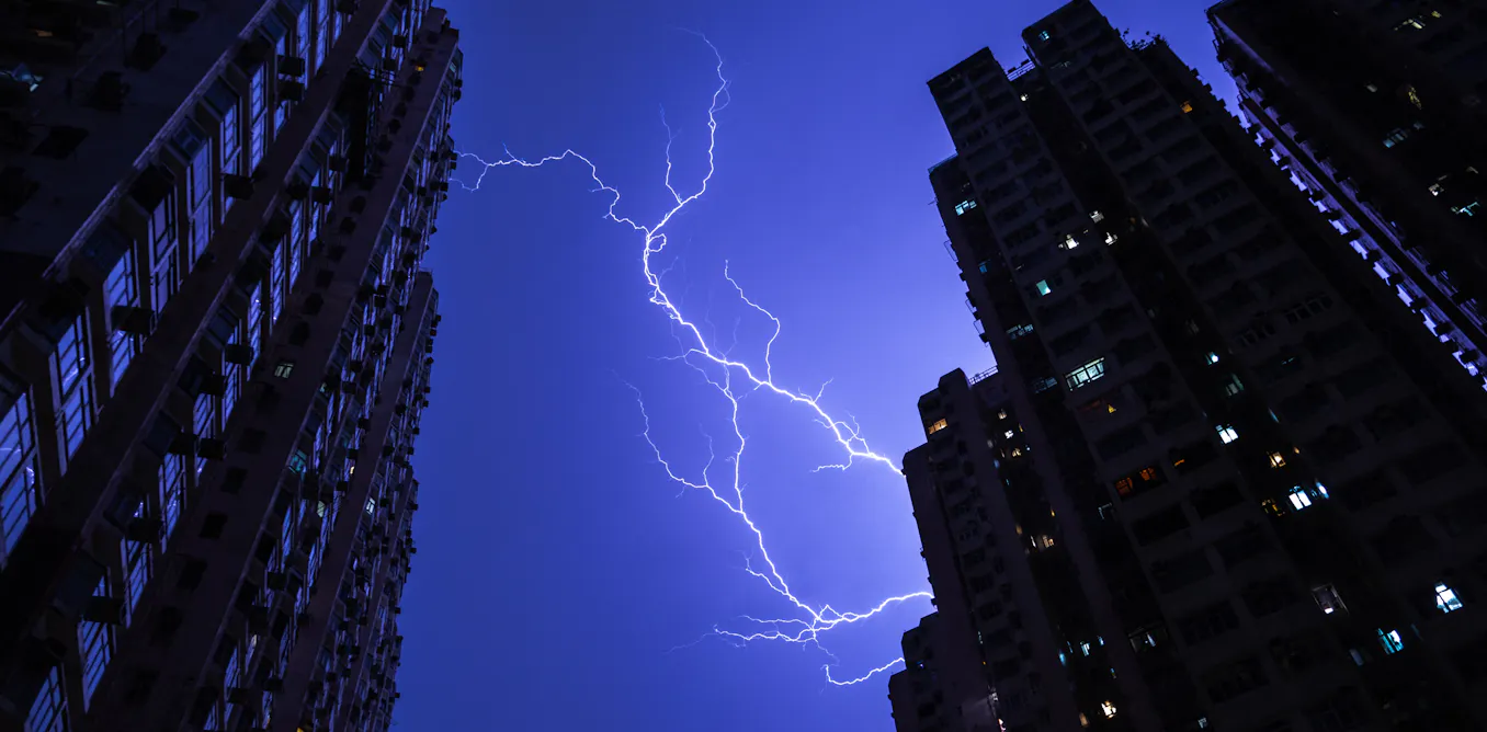
Scientists have discovered a way to use the energy from thunderstorms to create detailed images of the Earth's subsurface, a technique they're calling "thunderquake" X-raying. This method uses fiber-optic cables, a common feature in urban areas, to detect and measure seismic waves generated by thunder, providing valuable insights into the ground beneath our feet.
Researchers from Penn State University utilized a technique known as distributed acoustic sensing to convert a standard fiber-optic cable into a network of over 2,100 vibration sensors. This cable, part of the Penn State FORESEE project, stretches over two miles in length. Over a two-year period, the team recorded and identified 458 high-quality thunderquakes, which are essentially seismic waves produced when thunder's energy reaches the ground.
The team focused on a specific type of seismic wave called air-coupled Rayleigh waves. These waves, which can travel deep into the subsurface, allowed the researchers to create an X-ray-like image of the ground up to 300 feet below the surface. This imaging technique relies on seismic dispersion, where waves of different frequencies travel at different depths, enabling the reconstruction of seismic wave speeds at various levels.
This method offers a significant advantage over traditional subsurface imaging techniques, which often require expensive and intrusive equipment. By using the naturally occurring energy from thunderstorms and existing fiber-optic infrastructure, researchers can continuously monitor the shallow subsurface without additional installations.
The team tested their method in State College, Pennsylvania, an area with a geology predominantly consisting of limestone and dolomite. These rocks can dissolve over time due to groundwater movement, creating fractures, caves, and sinkholes. The study revealed four distinct areas where seismic waves traveled more slowly, indicating potential weak zones that could be caused by fractured rock, water, or air presence. Two of these zones coincided with areas of ground subsidence identified by satellite radar, validating the technique's accuracy.
Karst landscapes, like the one beneath State College, cover approximately 20% of the world's continental land area and impact nearly a quarter of the global population. Understanding the subsurface structure in these areas is crucial for identifying hazards related to sinkholes, groundwater contamination, and other risks that could threaten buildings, infrastructure, and public safety.
The researchers suggest that this technique is not limited to thunderstorms. Other atmospheric shock waves, such as those from sonic booms, volcanic eruptions, and meteor airbursts, could also be used to create similar seismic waves. This method could even be applied beyond Earth, with potential applications on Saturn's moon Titan, where atmospheric disturbances might provide insights into its subsurface.
By harnessing the constant interaction between the atmosphere and the ground, this innovative technique offers a new way to explore the hidden world beneath our feet.
#Thunderquakes #SeismicImaging #FiberOpticCables #Geology #StateCollege #PennState #SubsurfaceMapping #EarthScience
Comments (0)
No comments yet — be the first to weigh in.

NASA Launches Nancy Grace Roman Telescope to Unlock Universe's Mysteries
NASA's new Nancy Grace Roman Space Telescope lifts off from Florida to study dark energy, exoplanets, and cosmic mysteries with unprecedented precision and scope.

Nature reserves spot rare species during heatwaves
Nature reserves in Hertfordshire and Middlesex have documented rare species this summer, with volunteers spotting wildlife not seen in decades and some even for...

Inmates at HMP La Moye craft boxes to save Jersey's hedgehogs
Prisoners at HMP La Moye have crafted nesting and feeding boxes to support Jersey's hedgehog population, boosting rehabilitation and community engagement.
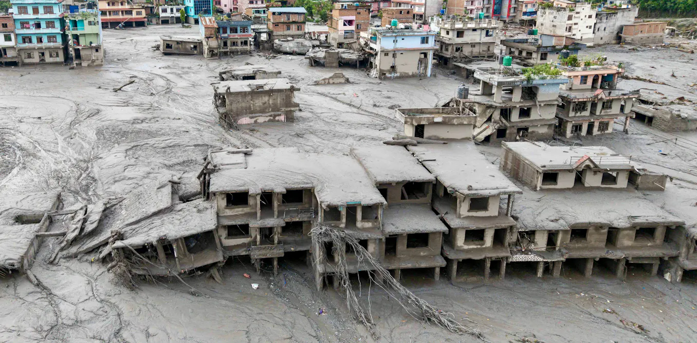
2026 Nepal Flood: Ice‑Rock Avalanche, Glacial Lake Outburst and Climate‑Change Risks
A massive ice‑rock avalanche triggered a catastrophic flood in Nepal on Aug. 26 2026, followed by a glacial lake outburst that devastated towns and hydropower plants. Climate‑change‑driven thawing increased the risk.

Mumbai’s Vile Parle Cypher is giving unheard rappers a voice

Enrich and Ultimo impress

Karnataka CM Signals Review of 5% Park Land Amendment Bill in Assembly

